Construction & Civil Engineering

Accuracy From Day One

Professional Survey Equipment, Expert Support & Repairs

  • Accurate Site Layout
  • Reduced Rework
  • Construction Ready
  • Expert Support

Our Professional Products

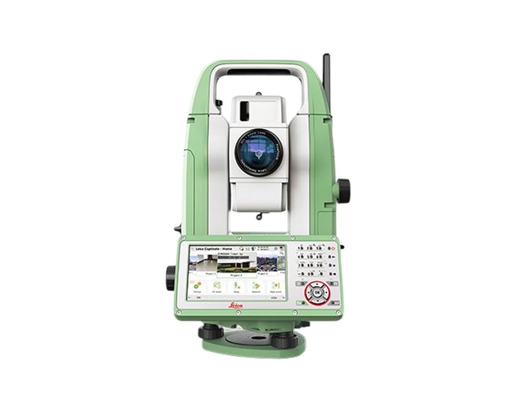
Total Station

Pre-Owned Instruments

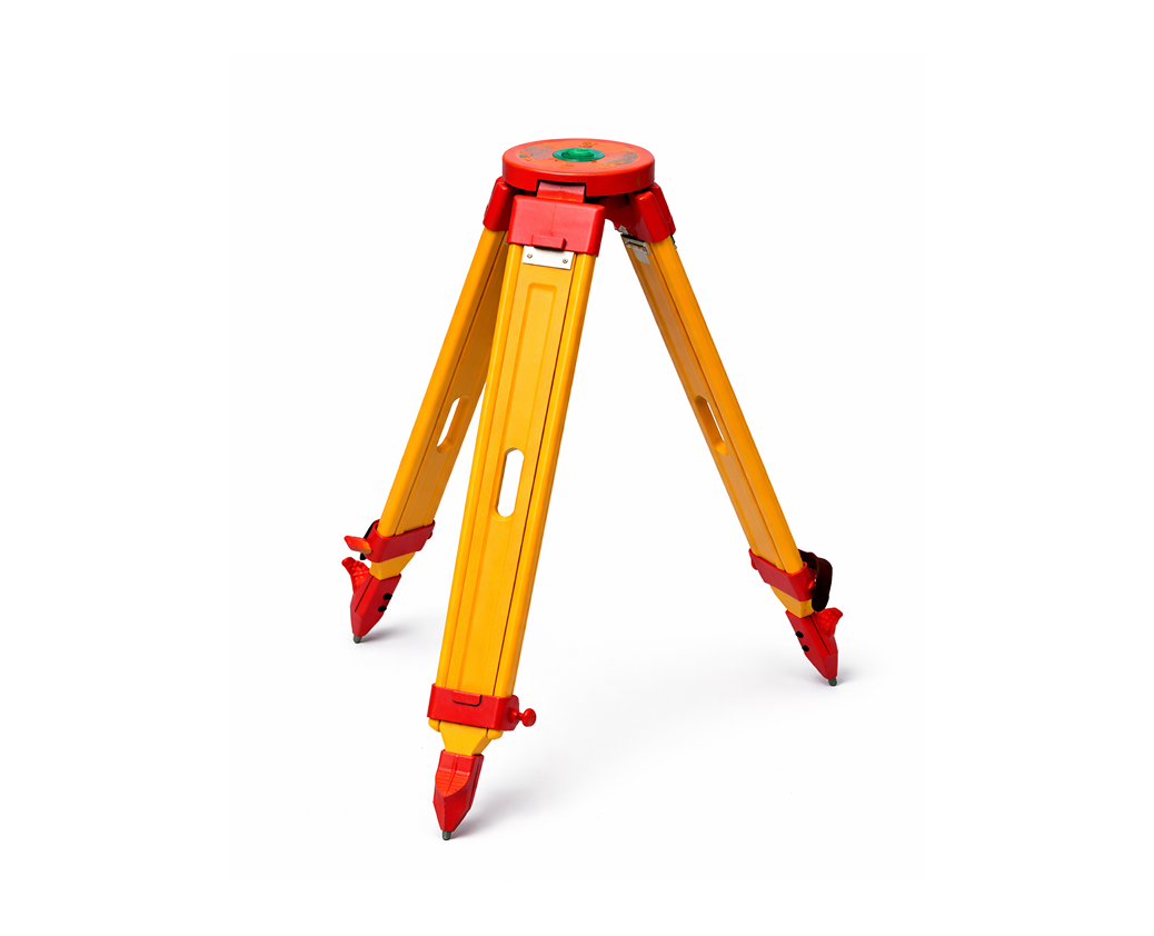
Accessories

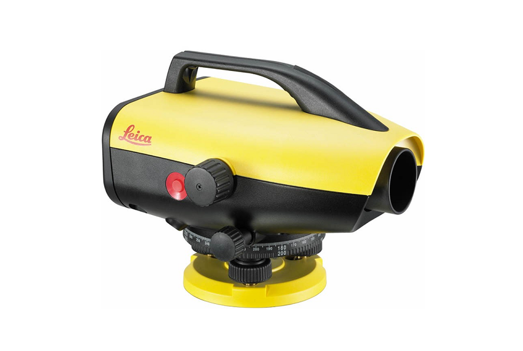
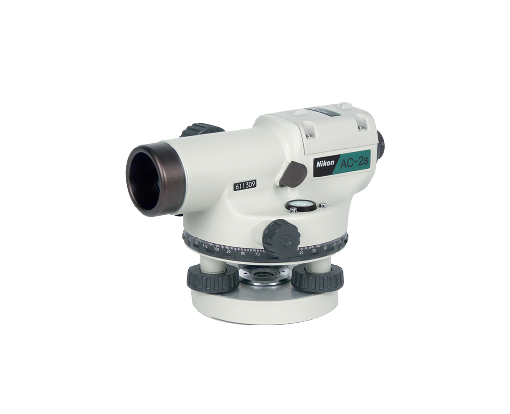
Auto level

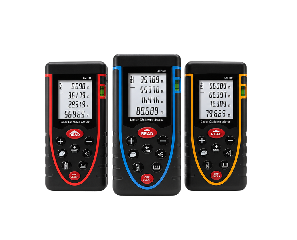
Measuring tools

Advanced GNSS Systems

The next generation of survey equipment with visual stakeout and laser precision.

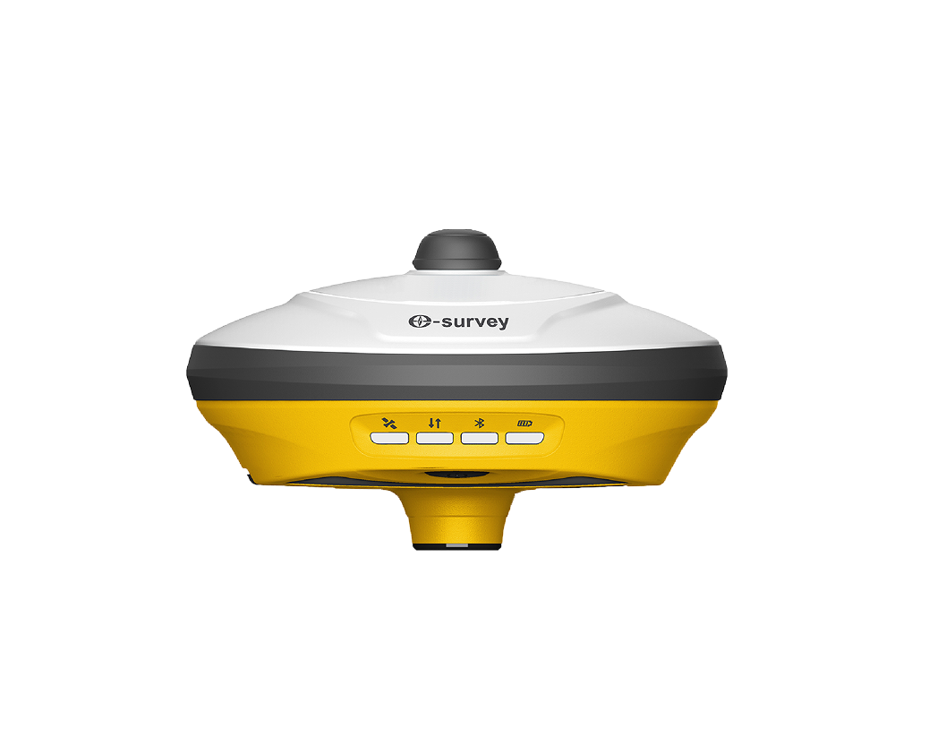
eSurvey eRTK30

Visual GNSS receiver with dual-camera technology. Enables measurement without reaching the point, maximizing productivity in complex fields.

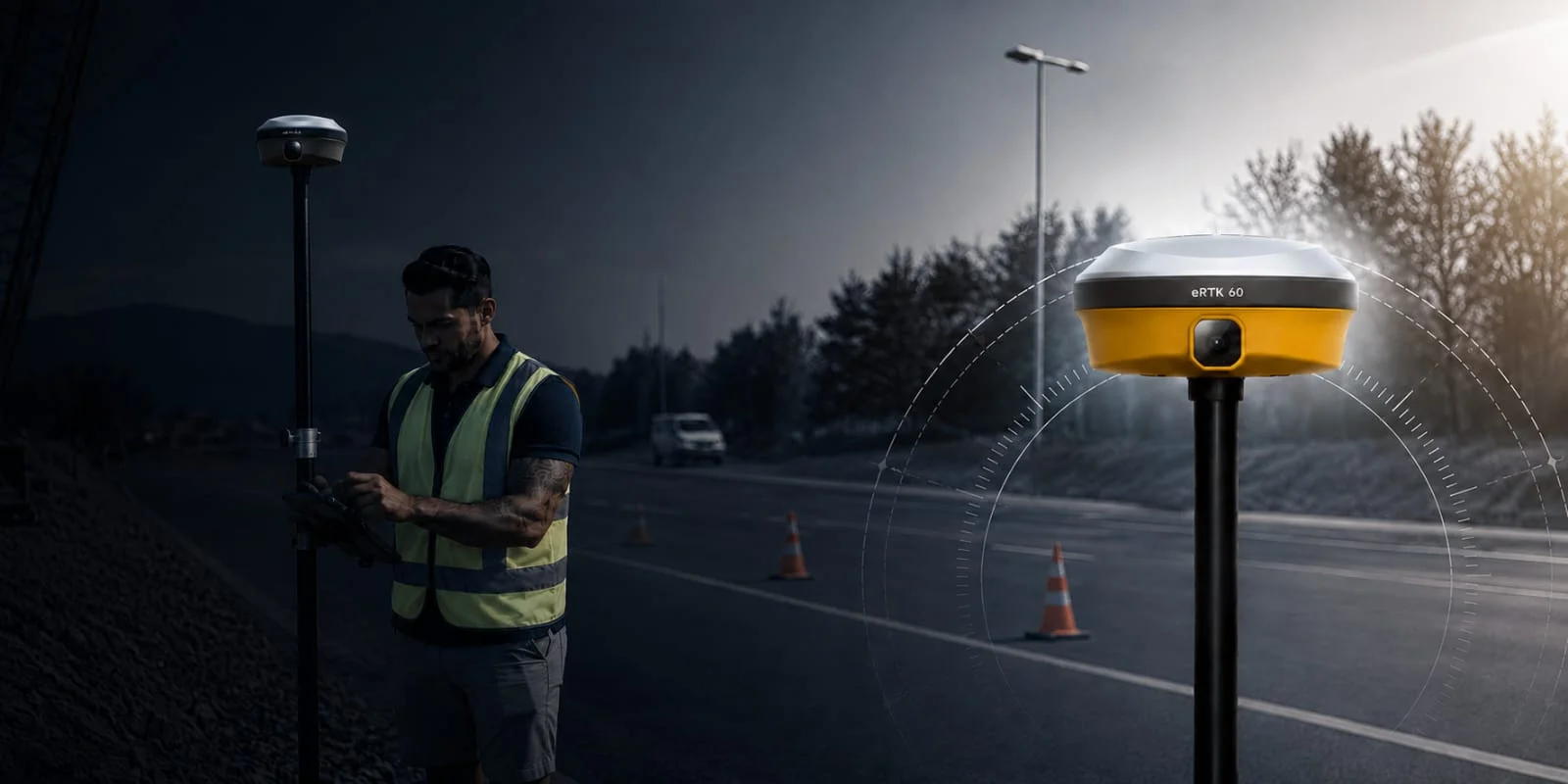
eSurvey eRTK60

The flagship GNSS receiver featuring advanced multi-frequency tracking and superior interference rejection for the most demanding projects.

Precision Solutions For Every Project

Construction & Site Layout

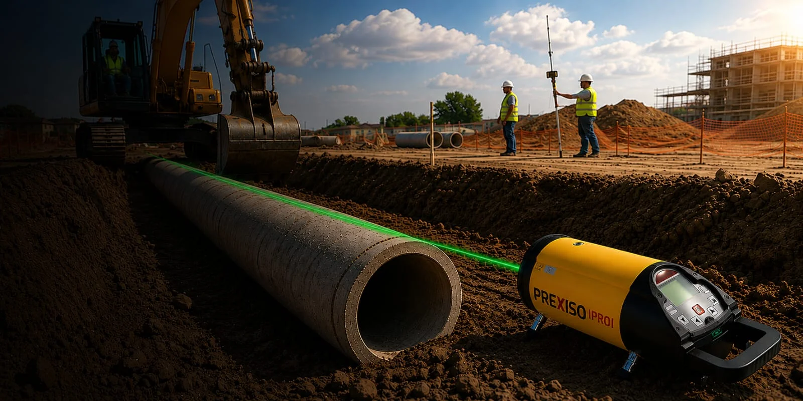
We help construction teams achieve precise site positioning, layout, and measurement throughout every project stage.
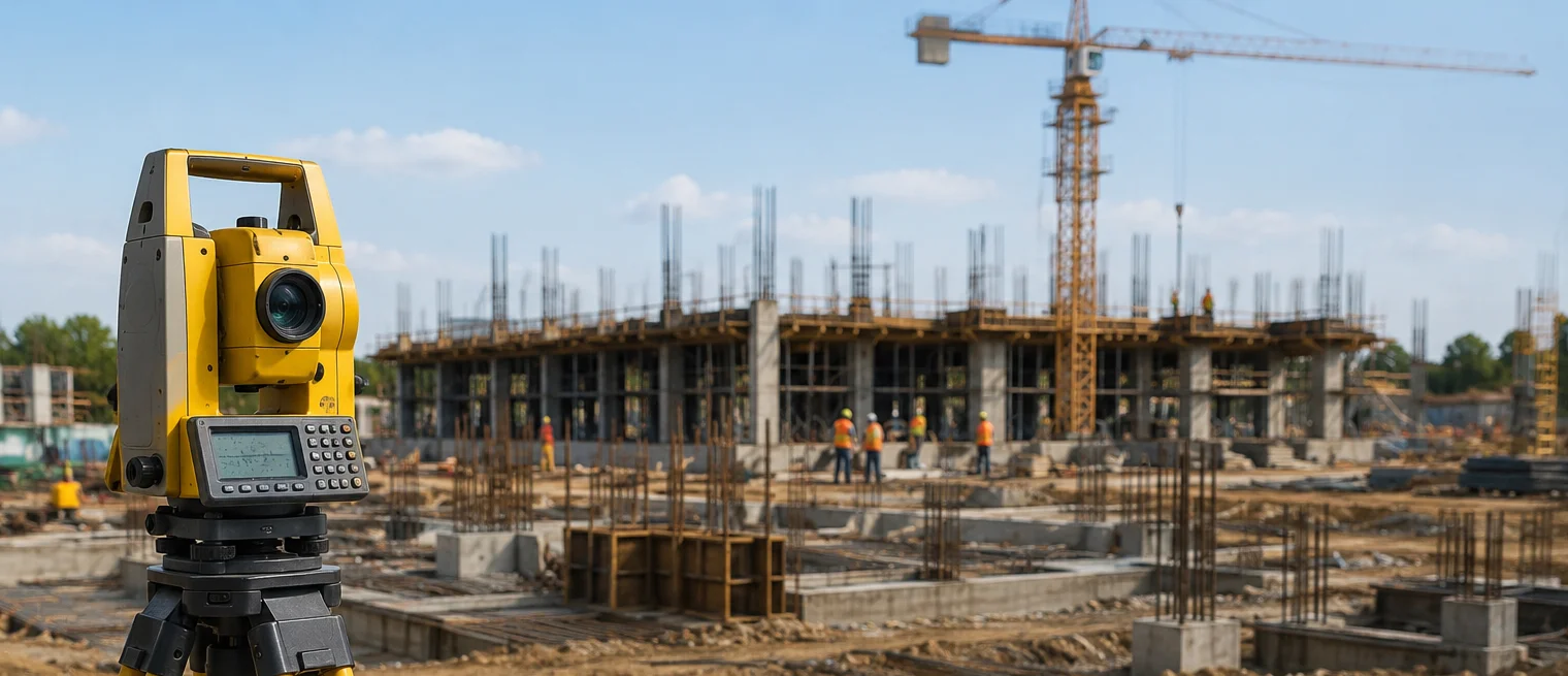
Get every measurement right the first time.

Turn plans into reality with precision.

Reduce costly errors and rework.

Build with greater accuracy and control.

Engineering, Mapping & GIS

We deliver accurate spatial data, mapping, and GIS solutions that support planning, analysis, and decision-making.
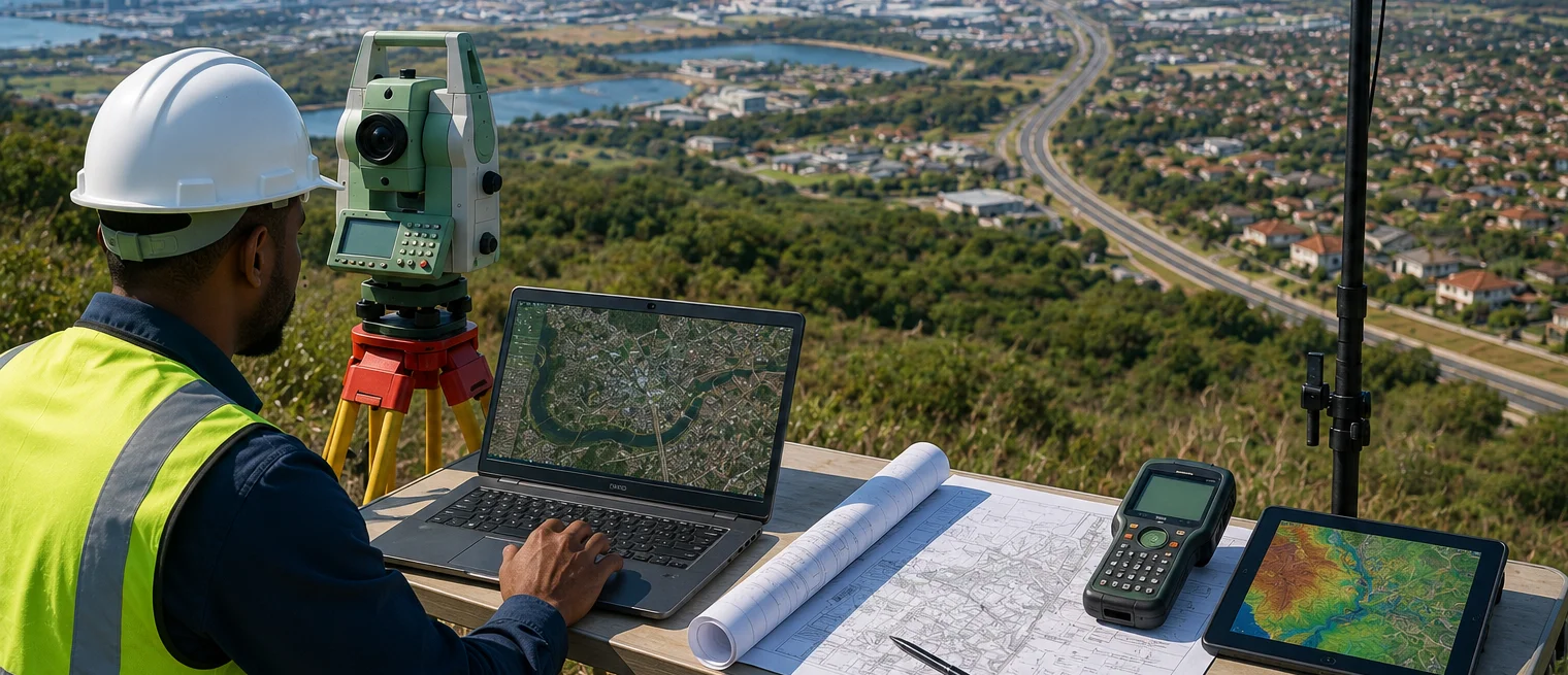
Turn complex data into project clarity.

Transform field data into actionable insights.

Connect mapping, analysis, and planning.

Make smarter decisions with accurate data.

Land & Cadastral Surveying

Helping you define boundaries, plan developments, and move projects forward with confidence through accurate and reliable surveying solutions.
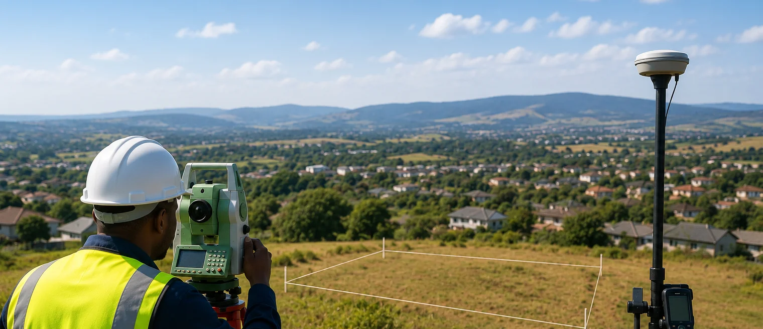
Accurate boundary and property measurements

Reduce risk before work begins.

Start every development on solid ground.

Define property boundaries with confidence.

Instrument Servicing & Repairs

We service, calibrate, maintain, and repair surveying equipment to ensure optimal performance and accuracy.
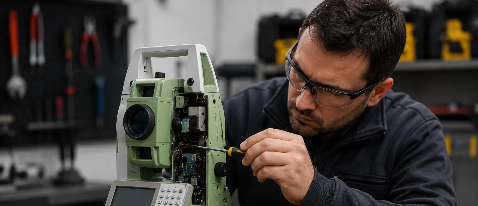
Stay field-ready with expert support.

Keep your equipment performing at its best.

Restore accuracy when it matters most.

Minimize downtime and maximize productivity.

Experience Visual Surveying

See how the latest visual GNSS technology is changing the game for surveyors. From AR stakeout to laser precision, watch our equipment in action across real-world projects.


Visual Stakeout Demo

See how dual cameras simplify complex stakeout tasks.

Precision Field Tests

Watch our instruments achieve centimetre accuracy in real-world conditions.

Blogs

Trusted by Professionals

The quality of the equipment and level of service exceeded our expectations. GeoSurv Africa has become our preferred surveying solutions provider.

Sipho DlaminiSenior Surveyor

GeoSurv Africa has been instrumental in helping us deliver projects accurately and on schedule. Their equipment is reliable, and their support team is always ready to assist.

Pieter Botha,Project Manager

GeoSurv Africa's commitment to quality and customer satisfaction sets them apart. Their knowledgeable team always provides practical solutions tailored to our needs.

Andrew SmithLand Surveying Professional

The training and technical support we received were invaluable. The team ensured we were confident using the equipment and achieving accurate measurements from day one.

James PetersonEngineering Survey Specialist

Reliable products, expert advice, and excellent service. GeoSurv Africa continues to play an important role in helping us deliver successful projects on time and within budget.

Thabo MokoenaDavid Nkosi, Land Surveyor

GeoSurv Africa consistently provides reliable surveying equipment and exceptional support. Their team helped us select the right solution for our project, and the results exceeded our expectations.

Richard BothaInfrastructure Project Coordinator

They helped us choose the right equipment based on our actual project needs. Honest advice, quality products, and excellent after-sales support.

Ryan JacobsCivil Contractor, Durban, Durban
Products

Browse by Industry & Category